Northwest Territories Photos, Stock Photos of Canada, Yellowknife, Inuvik, Aurora Borealis, Northern Lights, Artic Circle pictures, NWT History, Pictures Canada - PhotosCanada.com Gallery

Northwest Territories Photos, Stock Photos of Canada, Yellowknife, Inuvik, Aurora Borealis, Northern Lights, Artic Circle pictures, NWT History, Pictures Canada

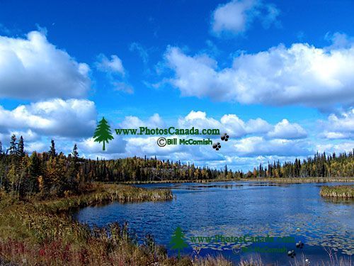
Ingraham Trail, Northwest Territories, Canada 16

Ingraham Trail, Northwest Territories, Canada 16

Description : In the 1950’s, when mineral discoveries in the Northwest Territories sparked a - roads to resources - construction boom, the Canadian federal government began to build a highway from Yellowknife to Fort Reliance, at the extreme eastern end of Great Slave Lake. The road was designed to be part of a loop that would eventually circle the entire lake, but the project was abandoned when mining potential did not meet expectations. The Ingraham Trail – named for colourful Yellowknife entrepreneur, Vic Ingraham – now ends at Tibbit Lake, just 69 kilometres from Yellowknife.

Home | Gallery | Biography | Contact Us | Purchase


PhotosCanada.com
P.O. Box 927
Garibaldi Highlands, B.C.
Canada V0N 1T0


Click to view PHOTOSCANADA.COM LICENSING TERMS & CONDITIONS

 Copyright 2003 - 2021 © Bill McComish
All images on this website are legally protected from unauthorized use by international copyright law.
The images may NOT be used in other websites, published, copied to another computer
or used as the basis for other photographs or illustrations.