Cassiar Highway Photos, British Columbia Stock Photos - PhotosCanada.com Gallery

Cassiar Highway Photos, British Columbia Stock Photos

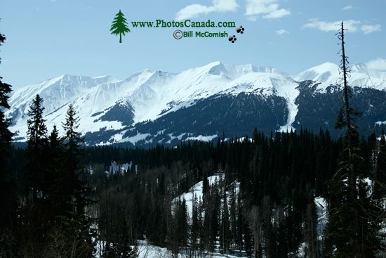
Along Cassiar Highway 2009, Northern British Columbia, Canada CM11-02

Along Cassiar Highway 2009, Northern British Columbia, Canada CM11-02

Description : The Stewart-Cassiar Highway (Highway 37) runs from the junction with Highway 16 north to the Yukon border, including the Trail of the Totems, the Spatsizi Plateau Provincial Wilderness Park, Stikine River Provincial Park, Mount Edziza Provincial Park, Atlin Provincial Park, and Tatshenshini-Alsek Provincial Wilderness Park.

Home | Gallery | Biography | Contact Us | Purchase


PhotosCanada.com
P.O. Box 927
Garibaldi Highlands, B.C.
Canada V0N 1T0


Click to view PHOTOSCANADA.COM LICENSING TERMS & CONDITIONS

 Copyright 2003 - 2021 © Bill McComish
All images on this website are legally protected from unauthorized use by international copyright law.
The images may NOT be used in other websites, published, copied to another computer
or used as the basis for other photographs or illustrations.