Crowsnest Pass Route Photos, Including Castlegar, Fernie, British Columbia, Canada - PhotosCanada.com Gallery

Crowsnest Pass Route Photos, Including Castlegar, Fernie, British Columbia, Canada

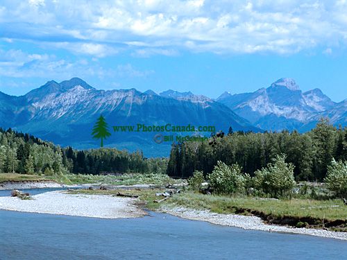
The Kootenays,  Crowsnest Highway, British Columbia, Canada 09

The Kootenays, Crowsnest Highway, British Columbia, Canada 09

Description : Highway 3 winds its way through the Monashee and Selkirk Mountains for about 135 miles (220 km) between Grand Forks and Creston, including the Kootenay Summit (5,820 feet/1746 m), Red Mountain Ski Area, and Christina Lake, Nancy Greene, and Kokanee Glacier Provincial Parks.

Home | Gallery | Biography | Contact Us | Purchase


PhotosCanada.com
P.O. Box 927
Garibaldi Highlands, B.C.
Canada V0N 1T0


Click to view PHOTOSCANADA.COM LICENSING TERMS & CONDITIONS

 Copyright 2003 - 2021 © Bill McComish
All images on this website are legally protected from unauthorized use by international copyright law.
The images may NOT be used in other websites, published, copied to another computer
or used as the basis for other photographs or illustrations.