Crowsnest Pass Route Photos, Including Castlegar, Fernie, British Columbia, Canada - PhotosCanada.com Gallery

Crowsnest Pass Route Photos, Including Castlegar, Fernie, British Columbia, Canada

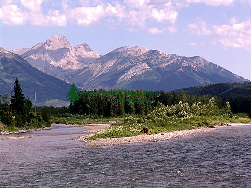
The Kootenays, Crowsnest Highway, British Columbia, Canada 10

The Kootenays, Crowsnest Highway, British Columbia, Canada 10

Description : Two geographical features dominate the Kootenays: mountains and water. Four parallel mountain ranges, running in a generally northwest direction, march successively across the southeastern British Columbia landscape. The most westerly are the Monashees, followed by the rugged Selkirks, defined on their western flanks by the Arrow reservoir system and Slocan Lake, and on the east by the spectacular waters of Kootenay Lake. These two mountain ranges and accompanying lake systems define this district. Farther east are the Purcells, then the Rockies, outlining the area known as the East Kootenays.

Home | Gallery | Biography | Contact Us | Purchase


PhotosCanada.com
P.O. Box 927
Garibaldi Highlands, B.C.
Canada V0N 1T0


Click to view PHOTOSCANADA.COM LICENSING TERMS & CONDITIONS

 Copyright 2003 - 2021 © Bill McComish
All images on this website are legally protected from unauthorized use by international copyright law.
The images may NOT be used in other websites, published, copied to another computer
or used as the basis for other photographs or illustrations.