Crowsnest Pass Route Photos, Including Castlegar, Fernie, British Columbia, Canada - PhotosCanada.com Gallery

Crowsnest Pass Route Photos, Including Castlegar, Fernie, British Columbia, Canada

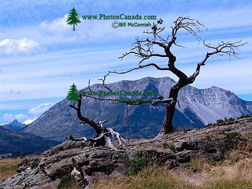
Crowsnest Pass, and Frank Slide, Crowsnest Highway, British Columbia, Canada 18

Crowsnest Pass, and Frank Slide, Crowsnest Highway, British Columbia, Canada 18

Description : The Crowsnest Pass is truly one of Canada,s hidden vacation gems.

Nestled in the Rocky Mountains with B.C. to the west and Montana to the south, the Pass has plenty to offer visitors of all ages and interests. The current municipality was established in 1979 and created by the amalgamation of Bellevue, Hillcrest, Frank, Blairmore and Coleman.

In the early morning hours of April 29, 1903, Turtle Mountain collapsed, resulting in the greatest landslide in North American history. In 100 seconds: at least 76 people were buried alive under tons of massive limestone boulders; three-quarters of the homes in Frank were crushed like balsa wood; over a mile of the Canadian Pacific Railroad was completely destroyed; and a river became a lake.

Home | Gallery | Biography | Contact Us | Purchase


PhotosCanada.com
P.O. Box 927
Garibaldi Highlands, B.C.
Canada V0N 1T0


Click to view PHOTOSCANADA.COM LICENSING TERMS & CONDITIONS

 Copyright 2003 - 2021 © Bill McComish
All images on this website are legally protected from unauthorized use by international copyright law.
The images may NOT be used in other websites, published, copied to another computer
or used as the basis for other photographs or illustrations.